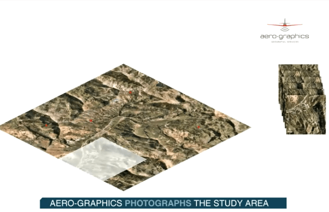
What is Photogrammetry
From high satellite altitudes for wide-area collection to UAV-based projects for power line rating analysis. The megapixel digital camera allows simultaneous collection of sharp quality digital imagery, high spatial resolution. We are ready for imaged projects large and small.
Our aerial acquisition expertise with a full-time aerial acquisition service allowing us to complete control of our flight schedule. We can quickly mobilize to our clients’ project sites.
We are experienced from high satellite altitudes for wide-area collection to UAV-based projects for power line rating analysis with vertical accuracies regularly exceed 5cm RMSE, even under dense vegetation canopy. The megapixel digital camera allows simultaneous collection of sharp quality digital imagery, high spatial resolution and LiDAR data. We are ready for imaged projects large and small for our clients.
VDO shows credit Aero-Graphics
https://www.aero-graphics.com/aerial-acquisition/
Be the first to review “What is Photogrammetry” Cancel reply
Related products
LiDAR Tech


Reviews
There are no reviews yet.